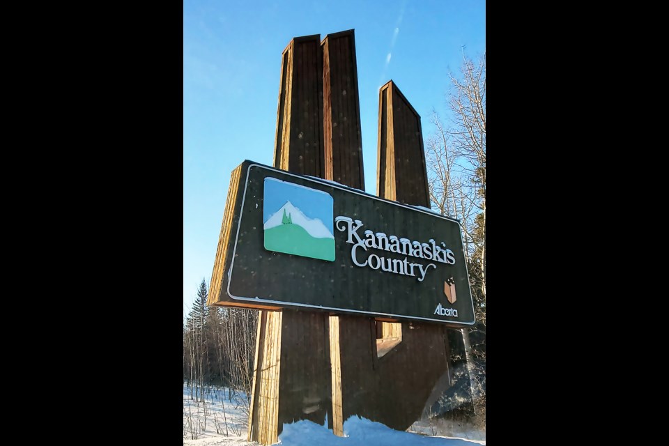
KANANASKIS COUNTRY – A trails master plan covering a large piece of provincial Crown land in northeast Kananaskis Country proposes 20 kilometres of new trails in response to increased visitation, environmental and public safety considerations.
The West Bragg Creek trails master plan also calls for decommissioning 3.6 km of mostly unauthorized and ecologically unsustainable trails, while creating year-round use for others.
“Some of that was provided through input from the public about what they wanted to see on the landscape, but also the public started putting in trails where they thought the trails should go. So, there are trails starting to pop up that kind of indicated there was a deficiency on the landscape as far as our connectivity,” said Conrad Schiebel, president of Bragg Creek Trails Association (BCT).
The trail association, which has managed the area trail network in partnership with the province since 2010, teamed up with the Ministry of Forestry and Parks to create the plan. It was also informed by 1,460 public survey responses collected between 2021-22, a planning committee involving BCT, forestry and parks, Indigenous stakeholders, environmental groups and industry, and various area land use management plans, policies and guidelines.
The 84-page document replaces the 2010 All Seasons Trail Plan and aims to create a comprehensive trail network considerate of a multi-use landscape. The land mostly falls within the Kananaskis Country Public Land Use Zone (PLUZ) and forestry, agriculture and petroleum extraction activities are also allowed here under the Public Lands Act.
“The level of trail use in the area has grown significantly over the years and the diversity of users and activities has expanded,” states the plan.
Schiebel noted increased visitation in the area has led to more damage, some of it relating to various recreational uses, including cross-country skiing, hiking, biking and equestrian activities.
“What we’ve really endeavoured to do is, especially in the wintertime, provide equestrian users with their own trails, and that continues to be part of the plan is to get horses going in a different direction from other users,” he said.
The planning document proposes new trails and upgrades or reroutes to improve connectivity, safety and visitor experience, while minimizing environmental impact.
Criteria involves keeping trails at least 30 metres away from riparian zones, no water and wetland crossings, sustainability with climate change and a trail footprint that does not extend into areas previously undisturbed.
Devon Earl, a conservationist with Alberta Wilderness Association, noted there doesn’t need to be a trade-off between recreation and conservation.
“I think, generally, if we’re managing an area with conservation as the first priority, we’re also protecting it from a recreation perspective,” she said.
“We have to be conscious of the total footprint of trails in an area because trails can and do deliver sediment to waterways which can impact water quality and fish.”
The West Bragg Creek area includes a large portion of the Bragg Creek drainage, as well as portions of the Ranger Creek and Iron Creek drainages, which are all tributaries of the Elbow River.
Within the plan area, valley bottoms, primarily meadows, wetlands and riparian zones along creek drainages are identified as some of the most important for wildlife habitats, including for black and grizzly bears, cougars, bobcats, lynx, wolf, coyote, deer, elk and moose and many species of smaller mammals and bird species.
The plan also aims to convert 14 winter-only trails over time to permit year-round use. Many are already used during seasonal restrictions and have become widened and rutted by trail users in non-winter months.
“People are going there anyway. The trails that we had roughed in for winter use were designed to be carried out on a snowpack, and after the snow melts, that trail is not in the best shape for hiking or biking,” said Schiebel. “Now, we’re looking at those just to clean them up and bring them up to a trail standard that can be used in the summertime as well.”
Banff-Kananaskis NDP MLA Sarah Elmeligi commended the work put into the trails plan and said it will be interesting to see how other land use management plans for Kananaskis fit around it.
“It increases the importance of [trails] being considered in the context of other land use planning such as forestry and other industrial development, or roads or transportation corridors,” she said.
The plan notes implementation of proposed changes to the trail network would occur over several years as funding, approvals and other resources are secured, with much of that also dependent on volunteer capacity.
On expanding trails, Elmeligi, who has a background in conservation, was pleased to see specific criteria around planning considerations and benchmarks set to review success of the plan.
“Whether that criteria has been effective and those new trails meet those criteria, that all comes out of the monitoring piece at the end, and that’s one of the most awesome pieces of this whole plane is there’s a very robust monitoring plan at the end,” she said.
Also included in the trail planning area is the West Bragg Creek Provincial Recreation Area and a small section of the Sibbald Snow Vehicle Public Land Use Zone. All trails managed by BCT are non-motorized.
The Local Journalism Initiative is funded by the Government of Canada. The position covers Îyârhe (Stoney) Nakoda First Nation and Kananaskis Country.


