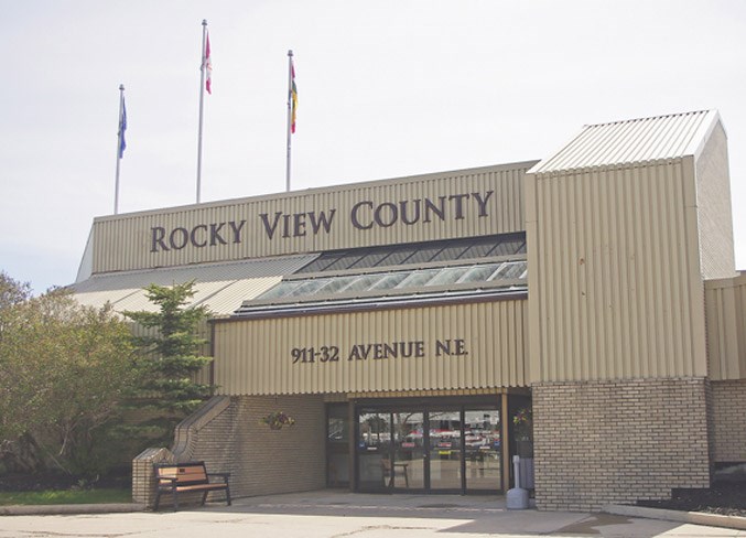
Rocky View County (RVC) county council approved two subdivision applications at its May 22 meeting. The first application, according to planner Jaime Kirychuk, creates a 9.88-acre parcel with a 10.
Rocky View County (RVC) county council approved two subdivision applications at its May 22 meeting.
The first application, according to planner Jaime Kirychuk, creates a 9.88-acre parcel with a 10.36-acre remainder four kilometers (km) north of Airdrie, east of Dickson Stevenson Trail on the south side of Township Road 280A.
Council voted 7-1 to approve the subdivision with an amendment to defer a municipal reserve provision of 10 per cent on Lot 2 of the divided parcel. The only opposition came from Coun. Samanntha Wright, who said in an email to Rocky View Weekly she did not “support the amendment to waive the municipal reserve fees.”
The second application – for land near Conrich, on the east side of Logistics Parkway and on the north side of Township Road 250 – creates three parcels, including a 103.21-acre industrial parcel, a 12.21-acre stormwater irrigation parcel and a 15.23-acre public utility lot.
“The applicant indicates their intention with this application is to subdivide the parcels, construct the stormwater management infrastructure and rough grade the site once Alberta Environment approvals are obtained,” said planner Oksana Newman.
Council voted unanimously to approve the application.
Land Redesignations
Council also approved four land use redesignations at the meeting.
The first application – to redesignate land at the northeast junction of Range Road 281 and Township Road 235A – would allow for the creation of three two-acre parcels with a nine-acre remainder, according to planner Paul Simon.
The second application facilitates the creation of more than 20.80 acres with an 87.47-acre remainder on land 11 km west of Calgary’s city limits, east of Highway 22 and directly south of Highway 1.
Newman said the redesignation would accommodate a new horticultural development.
“The applicant stated the purpose of the request to redesignate is to sell the parcel to her nephew, who owns and operates a landscaping business,” she said.
The third application, according to Newman, redesignates a small portion of land located within the Janet Area Structure Plan (ASP) – at the southwest junction of Township Road 240 and Range Road 285 – from Ranch and Farm District to Agricultural Holdings, with another portion of the land redesignated from Ranch and Farm to Industrial-Industrial Activity.
“No new lots are being proposed,” Newman said.
“The redesignation is to consolidate the existing electrical substation onto a single zoning district totaling 25.62 acres, while redesignating the required area needed to develop a field office, storage and maintenance centre on the portion of the remaining lands, totaling 17.51 acres.”
The final redesignation item approved by council facilitates the creation of four 10-acre parcels in the Cochrane North ASP, east of Horse Creek Road on the south side of Weedon Trail.
Although the subject land is located in an infill residential area of the County that may require a conceptual scheme, Simon said administration recommended proceeding with the redesignation without it because of “the ability to realize the relatively limited development potential of the adjacent lands” without relying on the subject lands and the absence of regional utility servicing options.
All four redesignation applications were approved unanimously.