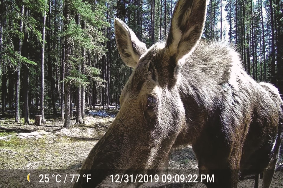
As Albertans have been encouraged to explore their own backyards during the COVID-19 pandemic, residents of Bragg Creek have become concerned with the impact an influx of activity has had on the wildlife that call their community home.
An increase in traffic through Bragg Creek as travelers make their way to Kananaskis Country and the West Bragg Creek trail system has resulted in a substantial rise in animal-vehicle collisions, according to Renée Delorme, a resident of the hamlet.
Delorme is the founder of Bragg Creek Wild (BCW), a group that formed last fall after she inquired to community members about designating the hamlet as a critical wildlife corridor.
“We are finding ourselves in a very rich wildlife habitat that is very popular with humans, and so people and wildlife co-habit this area to the extent where there’s a lot of conflict,” she said.
Delorme said the first assignment BCW is taking on is to map and record collisions involving animals and vehicles and determine a way to reduce these collisions.
However, she said there is “a lot to be done” in terms of preserving the lives and habitats of animals that call the Bragg Creek and Redwood Meadows area home. There is not only the goal of limiting the collisions in the area, but also learning more about the species in terms of their patterns of movement.
There are multiple steps needed to reach this goal, but Delorme and Dave Klepacki from Experience Journeys have started by asking locals to note when and where they spot wildlife in Bragg Creek.
This past winter, Klepacki said he went out and recorded tracks and markings of animals in the snow, which is how the wildlife movement-mapping project began.
Klepacki said the information provided by residents will be put into an Excel spreadsheet and onto Google Maps. This allows the team to see patterns and track the movement of animals.
Additionally, it is worth noting there has not been a professional wildlife study done for the specific area around Bragg Creek to date, according to Klepacki.
“In order to understand the populations that we have here and how they move, we have to do it ourselves,” he said.
Delorme, Klepacki and the members of their respective groups are hoping the data collected from citizen sightings and their own research will be sufficient to present to the provincial government in the future as reasoning for funding, education and enforcement regarding animal-vehicle collisions in the Bragg Creek area. This would potentially result in additional signage on roads, designating them as crossings for wildlife and education for drivers on how to be safe while travelling in a wildlife-dense area.
As some of the roads surrounding the town are provincially controlled, the goal is to eventually take the information to the provincial government as well as Rocky View County in order to ensure consistency between routes.


